“A territory full of treasures: from silver and gold to the legacy of miners, artists and scientists”
Celebrating Earth Heritage
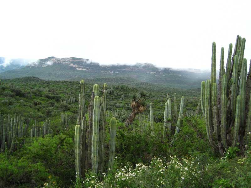
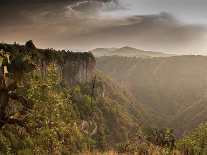
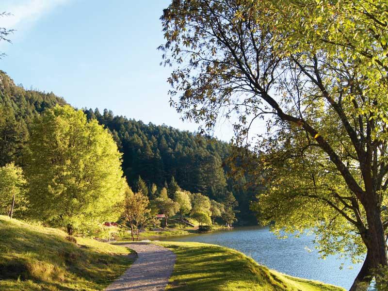
The Comarca Minera, Hidalgo UNESCO Global Geopark is located in the centre of Mexico, in the State of Hidalgo. It is characterized by a rugged relief, with altitudes in the range of 1300 – 3200 meters above sea level and is crossed by the volcanic ranges of Pachuca and Las Navajas. The mountainous area is limited to the north by the Meztitlán canyon, a breathtaking gorge, which drains to the Gulf of Mexico. The physiographic variation and altitudinal range of the Geopark territory prompts a diverse landscape and vegetation. On the one hand, you can find mountain ranges covered by sacred fir (Abies religiosa) and subtropical pine-oak forests, whereas the northern gorges exhibit columnar cacti-rich shrublands.
The Comarca Minera, Hidalgo UNESCO Global Geopark has an outstanding geodiversity. It encompasses the junction of two geological provinces, the Trans-Mexican Volcanic Belt and the Sierra Madre Oriental thrust and fold belt, as well as the overlap of two magmatic suites. World class silver and gold deposits occur, which were exploited from the XVI century to the end of the XX century. These deposits belong to the epithermal type and it is estimated that almost six percent of the world's historical silver production was mined here.
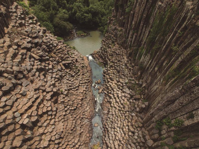
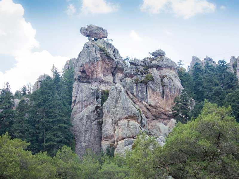
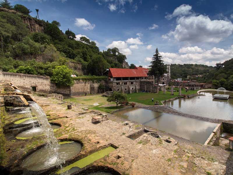
Besides the ore deposits, another notable element is the Cerro San Cristobal, the type locality for two important minerals: tridymite and cristobalite, discovered by Gerhard vom Rath in 1868 and 1887, respectively. In addition, this Geopark is well-known for the basaltic columns of Santa María Regla, which are among the longest reported in the world, with heights greater than 40 m. The first traveler that came from afar to admire and study this nature wonder was Alexander von Humboldt, who stayed in Comarca Minera between 1803 and 1804. Volcanism in Comarca Minera produced a variety of structures including cinder cones, dacite domes, lava flows, obsidian deposits, stratovolcanoes and a caldera structure. Fracturing and erosion have sculpted the volcanic deposits into scenic rock formations, such as those of the El Chico National Park and Peñas Cargadas.
Sustaining local Communities
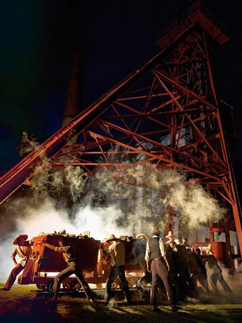
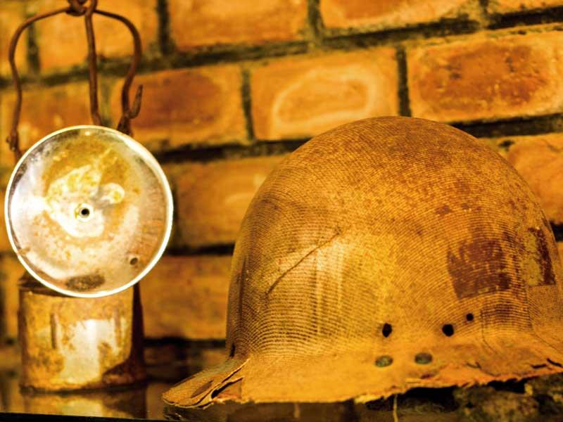
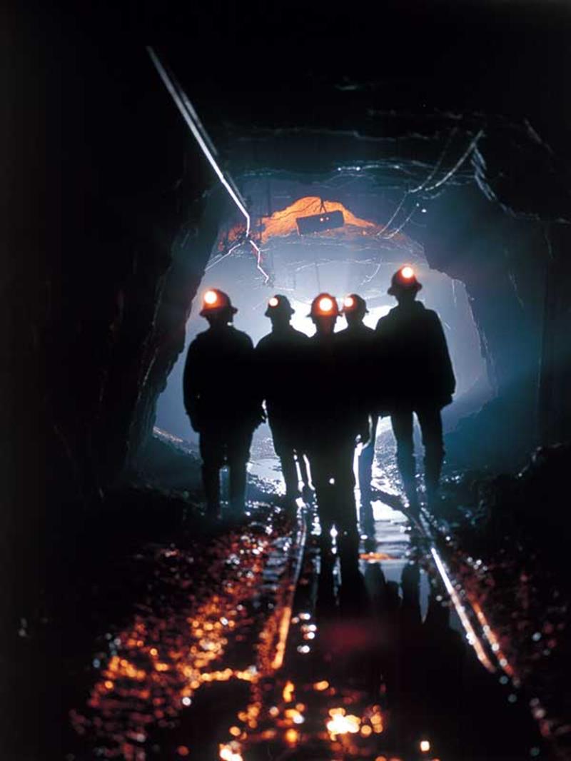
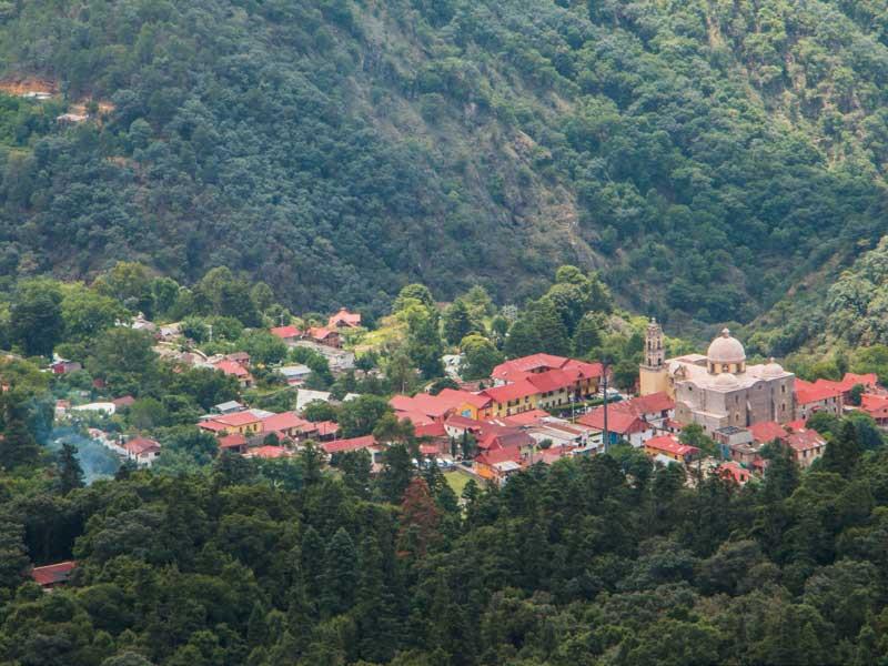
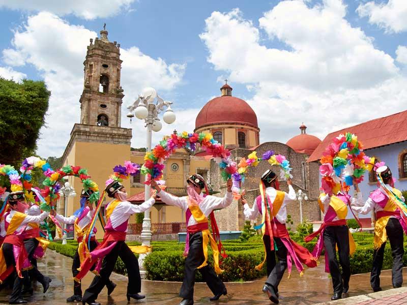
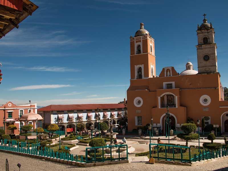
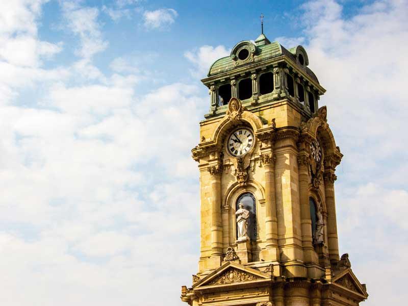
The settlement of Comarca Minera dates back to the pre-Columbian period, when the Xaltocan Kingdom expanded between the 1220 and 1380 A.D. The Otomí people dominated the Metztitlán, Atotonilco el Grande and Tutotepec areas. During the 15th century, Aztecs settled down in Huejutla and Patlachihuacán, now Pachuca. The Spanish conquest arrived shortly after to the State of Hidalgo. In 1552, after the discovery of the wealth of the Real del Monte mines, a mining community settled down nearby. A five-century mining history left a cultural legacy that deeply connects with the identity of the region. The imprint of mining is noticeable not only in the modified landscape, but it also left a rich industrial heritage that includes superb mining haciendas (i.e. colonial metallurgy plants). Moreover, the flourishing mining industry attracted scientists, artists and explorers, and prompted the migration of miners, mostly from Cornwall, United Kingdom of Great Britain and Northern Ireland. The Cornish miners arrived by the end of the XIX century and introduced locals to football, which was played for the first time in the country in the towns of the Comarca Minera, as well as the paste, a local version of the Cornish pastry.
Nowadays, the Comarca Minera, Hidalgo UNESCO Global Geopark territory is home to over 500,000 people and covers nine municipalities. The population density is 262 inhabitants per square kilometer. There are about 11,000 speakers of indigenous languages, most of them Nahuatl and Otomí.
In the framework of the United Nations Sustainable Development Goals (SDG), an alliance with the “Construye T” program has been carried out, which is an initiative from the Mexican Secretariat of Public Education and the United Nations Development Program (UNDP). It contributes to the development of the socio-emotional skills of the youth, through participative activities, training workshops for teachers and managers, and specialized teaching materials. In collaboration with the Secretariat of Public Education of Hidalgo, courses have been developed under the theme of geological and hydro-meteorological hazards, involving the municipalities of Atotonilco el Grande, Mineral del Monte, Huasca de Ocampo and Omitlán de Juárez.
The management structure of the UNESCO Global Geopark has been designed to guarantee citizen participation, whose representation in the directive committee constitutes 22%. This participation is represented by ejidal (communal lands) organization bodies, which actually manage most of the geosites. The Comarca Minera, Hidalgo UNESCO Global Geopark is supported by the Geophysics Institute of UNAM (Universidad Nacional Autónoma de México). The Institute considers the Geopark as a tool to conduct public outreach and awareness on geohazards and environmental geosciences to general public.